MTA’s new live Subway Map, by Work & Co. and the Transit Innovation Partnership.
The Metropolitan Transit Authority (MTA) recently launched its new Subway Map with live updates of the train locations. The live map was created in partnership with digital product agency Work & Co. and public-private initiative Transit Innovation Partnership. See it in action here: https://map.mta.info/
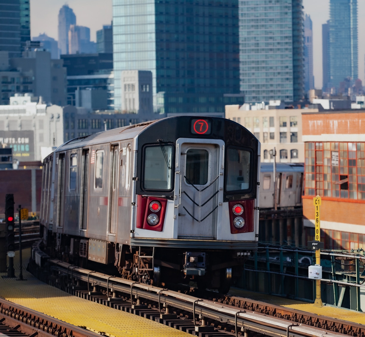
The MTA adopted Piper Networks’ Bluetooth Low Energy (BLE) beacon technology on over 4,000 train cars to calculate and predict train arrival information. The result is that subway riders at 269 stations on the lettered lines can now better plan their travels.
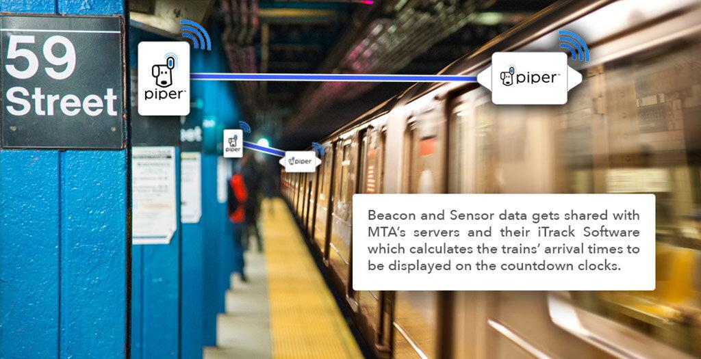
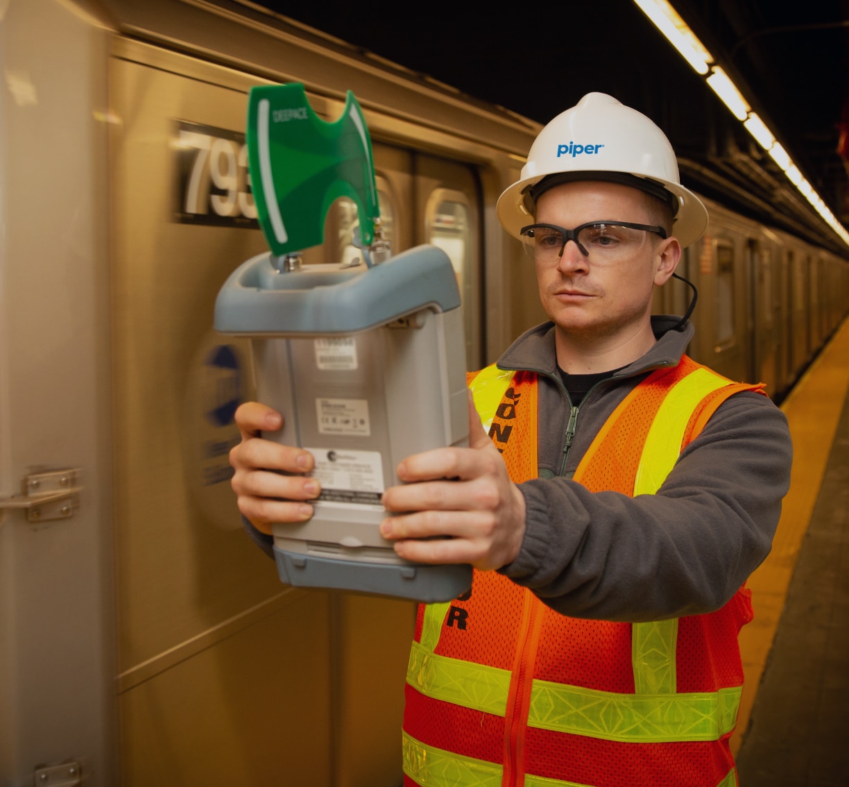
Piper’s portion of the solution works by installing four high-performance BLE (Bluetooth Low-Energy) beacon transmitters on the first and last cars of each New York City subway train. As the trains pass through the stations, Piper’s receivers placed within Transit Wireless Wi-Fi access points at either end of the station, pick up the signal and forward the data securely to MTA’s servers. There, the data points are calculated and shared with MTA’s iTrack location software to pinpoint train location and trigger the arrival information displayed on the LCD screens in the stations.
